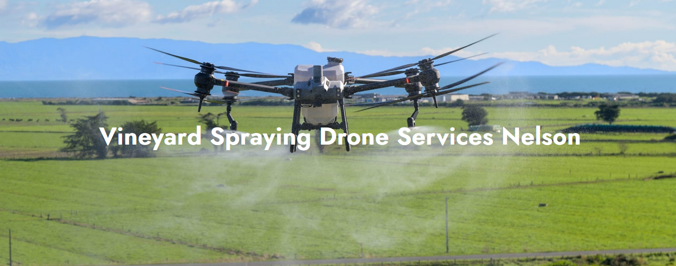
In this rapidly advancing agricultural landscape, data is the new fertiliser. Farmers are choosing cutting-edge technology to boost yields, optimise how, when, and where they farm. The most powerful tool in this technology is aerial data collected by drones, known as Unmanned Aerial Vehicles (UAVs). These high-tech flying tools offer a bird’s-eye view of your land and showcase significant insights that you simply can’t see from the ground.
Please check out practical ways aerial data can help you make smarter, more informed farming decisions:
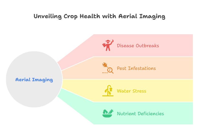
Identify Crop Health Issues before They Spread
Aerial imaging can help you recognise subtle changes in crop health long before the eye can. Using multispectral or thermal cameras, agricultural drone services can capture detailed data that shows variations in plant vigor, moisture levels, and temperature.
This visual data can help you identify:
• Disease outbreaks
• Pest infestations
• Water stress or nutrient deficiencies
Early detection can allow for targeted intervention, which saves crops and reduces the need for broad-spectrum chemical application. This makes your farming practices more efficient and eco-friendly.
Maximize Fertiliser Use through Precision Mapping
Fertiliser is one of the largest expenses in modern agriculture techniques. Aerial data can ensure that you’re applying just the right amount, in just the right areas.
When you choose variable rate application maps, drone surveys can highlight the zones requiring more or less input. It can avoid over-fertilization, burn crops or lead to runoff, and under-fertilisation, which affects yield. It results in better crop performance; reduced waste, and significant cost savings.
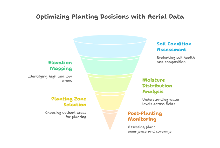
Make Informed Planting and Replanting Decisions
Before putting seeds in the ground, aerial data can help you assess soil conditions, elevation, and moisture distribution across your fields. This valuable insight is essential for:
• Choosing the best planting zones
• Avoiding low-lying, flood-prone areas
• Planning for row orientation and spacing
Post-planting, UAVs can assess emergence rates and highlight gaps in coverage. It can help farmers quickly spot underperforming sections and make timely replanting decisions to protect yield potential.
Improve Irrigation Efficiency
Water is a valuable resource and using too much or too little can be expensive. Aerial data can help farmers monitor water stress levels across fields by identifying areas crops are either overwatered or dehydrated.
Thermal imaging particularly shows canopy temperature differences that correlate with water uptake. With this information, you can fine-tune irrigation schedules, minimise water waste, and ensure uniform crop development.
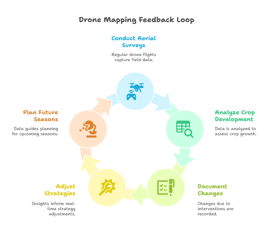
Monitor Field Progress throughout the Season
You can think of drone mapping as a field progress report from the sky. Regular aerial surveys motivate farmers to track crop development over time, compare growth stages, and document changes because of interventions like fertilizing, pruning, or pest control.
This continuous feedback loop can empower you to adjust strategies in real-time and plan better for future seasons based on hard data; rather than just gut instinct.
Final Consideration
It’s time to say goodbye to the days when farming relied only on weather forecasts and field walks. Aerial data from drones can empower growers to make smarter, faster, and more sustainable decisions. Whether it’s about spotting a pest outbreak before it spreads, applying fertilizer with surgical precision, or optimizing planting zones can help modern farmers take control of their fields like never before.
If you’re looking to stay ahead in agriculture, it’s time to let your farm take flight with agricultural drone mapping services. If you are looking for agricultural drone services, you should contact Agri Drone Specialists at +64 27 323 8155.