Businesses in a variety of industries are depending more and more on data-driven decision-making in the fast-paced world of today. Drone mapping services from us at Agri Drone Specialists are among the most cutting-edge methods for gathering precise and useful data. Our drones can create incredibly detailed maps, models, and surveys by fusing cutting-edge software with aerial technology. These tools can be used for projects ranging from mining and real estate to construction and agriculture.
Impact and Use in Industry
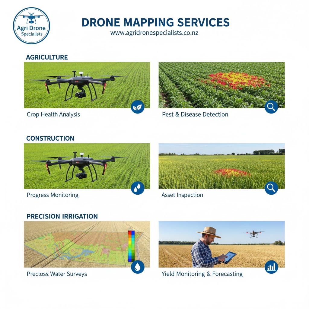
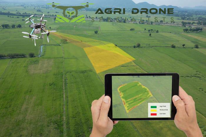
Numerous industries are significantly impacted by drone mapping. It helps project managers in the construction industry to keep an eye on developments, spot possible problems, and boost productivity. Drone seeding services are not the only service; drones in agriculture can evaluate crop health, maximise irrigation, and increase yields. While mining operations use drones for volumetric measurements and site safety inspections, real estate companies benefit from aerial surveys that highlight properties. Compared to traditional surveying methods, businesses can save time and money by capturing high-resolution imagery and turning it into useful data.
Selecting the Best Drone for Your Needs in Mapping
The kind of drone you select will depend on your unique needs because not all drones are made equal. For instance, multi-rotor drones are better suited for smaller, more complicated areas that demand more manoeuvrability, whereas fixed-wing drones are best for covering large areas like farms or mining sites. Other important factors are mapping software compatibility, camera quality, and flight duration. To make sure they get the level of precision and detail needed for their projects, businesses need to carefully consider these factors.
Selecting a Service Provider for Drone Mapping
The most sensible course of action for many companies is to contract with a specialised service provider like us to handle drone mapping. Businesses no longer need to make significant investments in drones and software thanks to the experience, regulatory knowledge, and access to top-tier equipment that we, as experienced providers, bring. Our track record, industry experience, and the degree of data analysis we can provide, in addition to the raw imagery, should all be taken into account when choosing us.
Frequently Asked Questions Concerning Drone Mapping Services
When considering drone mapping for the first time, businesses frequently have questions. To what extent is the data accurate? Drone mapping typically achieves accuracy within a few centimetres with the correct tools and knowledge. Is it economical? Even though there is an initial expense, traditional methods are frequently outweighed by the time, labour, and efficiency savings. Is it lawful and safe? We, as reputable suppliers, guarantee compliance and dependability by adhering to all aviation laws and safety requirements.
Our drone mapping services are becoming essential in a variety of industries due to their rapid and efficient delivery of accurate, actionable insights. Businesses can use this technology to improve decision-making, cut expenses, and maintain their competitiveness in a world that is becoming more and more data-driven by selecting the appropriate drone or collaborating with us, a reliable service provider.